
Dalton Previous Residents by Era
Different records answer different parts of an address history. Whitfield County parcel data gives the present legal identity. Deeds trace title, while city directories and census schedules identify occupants. A recorded owner is not proof of residence, and a directory entry is not proof of title. The strongest account of previous residents pairs both tracks and notes where the evidence stops.
| Source | Verified span | Where held | What it shows |
|---|---|---|---|
| qPublic parcel record | Current and displayed value history | Board of Assessors | Owner mail, situs, legal description, improvements |
| Deed index and books | Online cutoff unstated; surviving older books | Clerk, GSCCCA, Archives | Grantors, grantees and land references |
| Dalton directories | Verified selections, 1940-1963 | DLG and library | Named occupants and street context |
| Federal census | 1850-1950 public, with survival limits | NARA and library databases | Households at census intervals |
| Sanborn maps | 1885, 1914 and 1941 verified points | LOC, UGA and DLG | Footprints, use, block and old numbering |
| City and permit files | City records from 1884; permit cutoff unstated | City Clerk and Building Inspection | Annexations, alterations and dated action |
For a recent house, start with the parcel and deed chain. For a mid-century household, add full-text directories. Earlier work may depend on maps, census schedules, newspapers and surviving microfilm. Never assign a date to the online deed cutoff because the official sources reviewed do not state one.
Fix Dalton's Parcel Identity First
A modern address is only a label. The Whitfield qPublic property search ties it to a parcel number, Realkey, legal description, subdivision, block and lot. Save all of them. Copy the situs address separately from the owner's mailing address. That split can show an owner who receives tax mail elsewhere, but it cannot name a renter or prove where the owner lives.
Legal descriptions outlast postal wording. If a deed says Lot 8 in a named subdivision while an old directory uses a number that has vanished, lot, block, plat and parcel geometry can keep the trail on the same land. Preserve punctuation and business suffixes in owner names because indexes can treat them as meaningful.
- Situs address
- The place where the parcel lies, distinct from the tax-mail address.
- Realkey
- A second Whitfield internal identifier shown with the parcel number.
- Legal description
- The land identity based on lots, plats or boundaries instead of postal wording.
Note: Date each parcel search because names, values and parcel configurations can change.
Walk Whitfield's Dalton Deed Chain
The deed chain is the ownership spine for previous residents research. Use the current owner and legal description from qPublic, then search the GSCCCA real-estate index. Fields include county, instrument type, party role, last or organization name, first and middle name, dates, book and page. Index access and document images are different products, and images or certified copies may cost money.
- Save the owner, parcel number, Realkey, legal description and any deed reference.
- Search the current owner as grantee, the party receiving land. Match the acquisition deed by legal description.
- Record the grantor, reference, deed date, recording date and cross-index data.
- Search that grantor as an earlier grantee. Reject same-name results for other land.
- Repeat until the web index stops, then take the last sound reference to the Clerk or Archives.
The Whitfield Clerk of Superior Court at 205 N. Selvidge Street holds deeds, plats, liens and certified copies. The counter matters for older books, restricted images and files not indexed online. Georgia Archives county cards identify older Whitfield microfilm series, mainly pre-1900, but the cards are a catalog rather than images of the records.
- Grantor
- The party giving or selling an interest in land.
- Grantee
- The party receiving that interest.
- Chain of title
- The linked sequence of transfers for the same property.
Match Dalton Directories to Census
Ownership cannot name all previous residents. Dalton-Whitfield County Library and the Digital Library of Georgia provide digitized selections from 1940 through 1963. Entries may show a name, spouse, occupation and home address. Census pages add household members at set intervals. Read the scan as well as searchable text because faded type, initials and compound surnames confuse optical character recognition.
Use a fixed flow: directory name and address → scanned entry and key → nearest public census → next directory year → deed or obituary check. A first appearance narrows arrival. A disappearance may mean a move, death, remarriage or a missing volume. Search spouses and other adults when the first name vanishes.
The collections receive fuller treatment on the Dalton city directory page. Use only the volumes that test this property. The 1963 Polk title expressly includes Brookwood, City View and Pine Hills, proof that directory geography varies by edition.
Sanborn Maps Test Dalton Addresses
Sanborn fire-insurance maps help when a number or building changed. Verified Dalton coverage includes 1885, UGA holdings through 1914, and a 1941 Library of Congress set with 23 sheets. Maps show streets, blocks, footprints, construction and use. They cannot name previous residents, but they can show whether the building existed and whether an old number points to the same lot.
Open the UGA Dalton Sanborn holdings or 1941 Library of Congress set. Start with the index, locate the sheet, then compare intersections and block shapes with the parcel map. A lost house number calls for a plat and legal-description check, not a guess.
The 1940 directory adds a close comparison. Page 20 contains a “Bedspread Boulevard” map, one year before the 1941 Sanborn set. Textile landmarks and road labels may place an entry missed by a modern search.
Note: A Sanborn footprint documents a structure and use, not the household inside it.
Dalton Records Across Two Disasters
Whitfield County began in 1851, but the earliest courthouse trail is not seamless. Sherman’s forces burned the first wooden courthouse in 1864. Georgia Archives also marks an 1883 disaster. Neither event proves all records vanished. Check the Georgia Archives county cards series by series.
When deed books fail, compare tax digests, census pages, newspapers, directories, Sanborn maps, church or cemetery evidence and surviving plats. City Clerk documents begin in 1884 and can add annexations and West Hill Cemetery matters. A careful history says what survives and leaves an interval open when evidence cannot support a name.
A disaster marker is a reason to broaden the search, not permission to fill a blank with lore.
Archives Extend Dalton Resident Trails
The Georgia Archives vital-record guide points to marriage and vital microfilm that can connect a former owner with later family evidence.
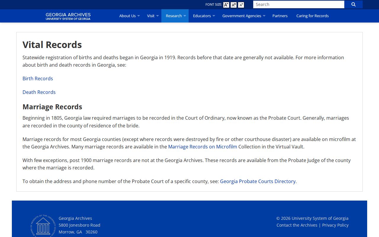
The captured page is a start, not a deed substitute. Use a verified name and date range, then follow the Archives' rules for that series.
For the state holding, consult the Georgia marriage-record request page.
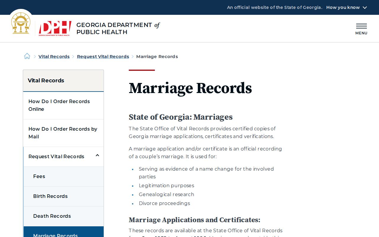
State holdings cover June 1952 through August 1996, with verification from 2014 forward. Other years lead to Whitfield Probate Court.
Eligible requesters can use the official Georgia ROVER service after establishing a name and date range.
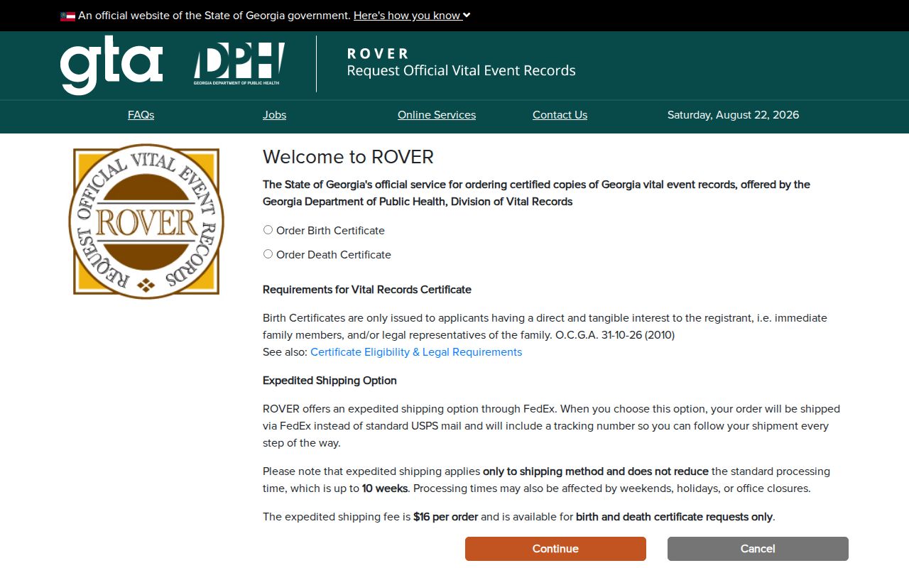
The order screen does not make certificates public. Birth and death copies require the direct and tangible interest set by Georgia law.
Close Dalton Trails with Probate
Probate and obituaries can explain the end of a trail. Whitfield Probate Court holds estates, wills and marriage licenses outside the state office's defined marriage range, subject to sealing rules. Search a deceased owner by name, then inspect petitions and notices for heirs and addresses. The North Georgia Citizen run from 1868 through 1924 can add death notices, family links and property ads.
Obituaries are leads, not title records. Compare names with deeds, the parcel identity, cemetery records and probate. Georgia restricts birth and death copies to people with a direct and tangible interest. State records begin in January 1919, while divorce decrees stay with Superior Court.
Lawful use. Research previous residents for house history, genealogy, estate work or personal curiosity. Never use an address trail to watch, harass or threaten a living person.
Avoid Dalton's Changed-Address Trap
No official Dalton-wide renumbering year was found. Do not claim one. When an address fails, compare directory street sections, Sanborn indexes, plats, deed descriptions and parcel geometry. Search old directional prefixes and spellings. City Clerk annexation records may explain a shift between city and county context.
Bring a compact evidence set to an office: parcel number, Realkey, present and former address forms, subdivision, lot and block, approximate construction date and known owners. Ask for an existing index or volume. Georgia's Open Records Act does not force an agency to create a custom report.
For a specific, verified identity, the Georgia corrections query can check an official corrections record.
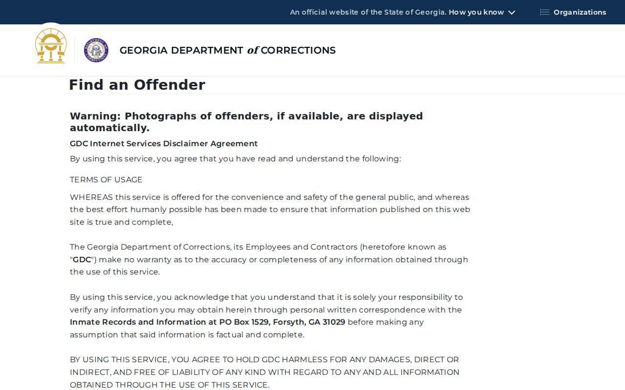
A result does not prove residence at the parcel. Add a name only when a separate address record supports it.
Previous residents become defensible only when address and people move together through time. Keep a log with source, date, exact spelling and uncertainty. That makes a house history useful and easy to correct.
For a suspect property-record solicitation, use the FTC fraud-reporting channel.
Verify deed-copy claims with the Whitfield Clerk through known contact details before paying or filing a report.